En route to Africa ! Belitung, Indonesia to Cocos Keeling, Australia

Peregrina's Journey
Peter and Margie Benziger
Fri 4 Oct 2013 08:46
En route to Africa! Belitung, Indonesia to Cocos
Keeling, Australia
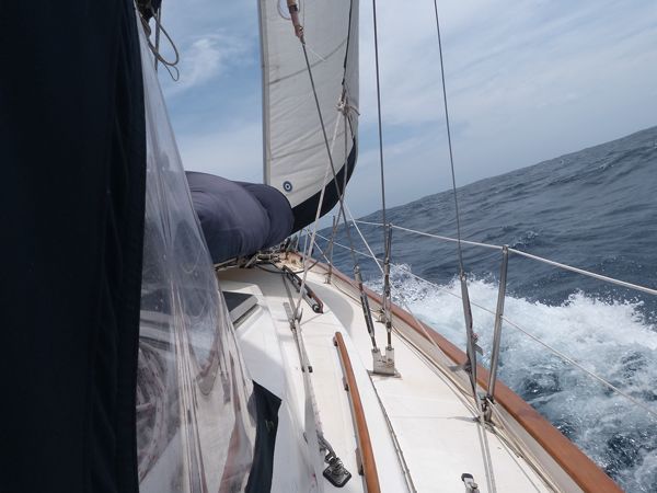
Peregrina averages about 125 miles a day with normal 15 knot wind but, hopefully, we’ll have good consistent winds to push us along a little faster. Our passage from the Sunda Straits (Krakatau) to Cocos Keeling was a “screamer,” due to high winds, with Peregrina logging an all-time high of 182 miles in one day. We recorded our all time highest speed of 9.5 knots of speed in 41 knots of wind on the beam. In higher winds, we reef the main, put on the running backstay and use only the staysail forward.
The anchorage for Krakatau is very dicey and we decided not
to attempt it in the darkness. After standing off in 30 knots of wind for three
hours until daylight broke, we went in to anchor. The anchorage lies very close to the caldera
wall which formed the old Krakatau volcano.
We inched ourselves along the wall about 100 feet from shore where the
depth registered around 20 feet. Any
further out from the wall and the slope dropped off precipitously. Essentially, you are trying to anchor on a
narrow fringe before you enter an extremely steep slope that descends to over
300 feet just offshore. We tried
anchoring three times and, each time, the anchor pulled out when we test it by
going in reverse. The fourth time it held and we could finally relax and get
some sleep.
Our route to
Africa is divided up into the following passages (legs) so we’ll have almost
5000 miles to cover starting the first week in September from Singapore and
ending, hopefully, sometime in November in Richards Bay, South Africa, just
north of Durban.
|
LEAVE
|
DESTINATION
|
Miles
|
|
Singapore
|
Belitung, Indonesia
|
330
|
|
Belitung
|
Sunda Straits, Indonesia
|
166
|
|
Sunda Straits
|
Cocos Keeling, Australia
|
662
|
|
Cocos Keeling
|
Rodriques
|
1997
|
|
Rodriques
|
Mauritius
|
331
|
|
Mauritius
|
La Reunion
|
132
|
|
La Reunion
|
Richards Bay, South Africa
|
1347
|
|
|
Total
|
4965
|
Peregrina averages about 125 miles a day with normal 15 knot wind but, hopefully, we’ll have good consistent winds to push us along a little faster. Our passage from the Sunda Straits (Krakatau) to Cocos Keeling was a “screamer,” due to high winds, with Peregrina logging an all-time high of 182 miles in one day. We recorded our all time highest speed of 9.5 knots of speed in 41 knots of wind on the beam. In higher winds, we reef the main, put on the running backstay and use only the staysail forward.

The Sunda Straits is a narrow opening separating the
Indonesian islands of Sumatra and Java and providing access to the Indian
Ocean. The Sunda Straits is well known
among sailors for the tremendous currents that build up as all that water
rushes through a very small opening out to sea at low tide. Sometimes the
currents reach 4 knots and, when there is a wind against the tidal waters, the
result is high and very steep waves.
We passed through the Straits about 2:30am. Margie’s “watch”
ends at 2:00am and so, as far as she was concerned, the timing was perfect! She went down below to get some rest and
Peter hunkered down for a wild ride! In addition to the zig-zagging currents
and steep pitched waves, there is a constant parade of ferries operating 24
hours a day between Sumatra and Java.
When we passed through the ferry lanes, there were 7 large ferries in
transit. These ferries do NOT change course for anyone…forget a sailing
boat. Nor do they answer the VHF radio
hails. You basically slow down and wait
for a gap and run for it. But, remember that this was the dead of night! We did pretty well except for a barge being
pushed (not pulled) by a tugboat that was showing no lights. We, luckily, missed it by two hundred yards.
Since it was night and the weather was not cooperating AND
the anchorage at Sunda Straits had no navigation lights AND was fringed by a reef,
we decided to push on a little further to Krakatau, “the most famous of the
world’s most famous volcanoes” – according to our guidebook.
Few volcanoes have as explosive a history as Krakatau, the
island that blew itself apart in 1883 with the loudest bang ever recorded on
earth! It turned day into night and
hurled devastating tsunamis against the shores of Java and Sumatra. At 10am on August 27, Krakatau erupted so forcefully
that, on the island of Rodriques, almost 2000 miles to the southwest, a police
chief reported hearing what he thought was the booming of “heavy guns” from the
east.
With its cataclysmic eruptions, Krakatau sent up a record
column of ash 80km high and threw into the air nearly 20 cubic kilometers of
rock. A giant tsunami, more than 40 meters high, killed 36,000 people before
reaching the Arabian Peninsula 12 hours later.
Kratatau basically blew itself to bits but the area
continued to be quite volatile and, in 1927, another volcano, Anak Krakatau
(Child of Krakatau) formed. This little “Kiddie Krak” still smokes and simmers and
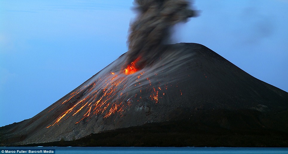
spews today. In fact, during our night approach,
we could see the red, molten lava sputtering.
Unfortunately, we were unable to take a picture due to the high winds
and rolly conditions. Here is a picture of Anak Krakatau which is similar to what we saw.

The next day we set off for Cocos Keeling 662 miles away.
The trip was four nights long. On the last night a front blew in with winds of
41+ knots, rain and high seas. We arrived at 02:30am (Again, just as Margie is
about to go “off watch.” Do you see a
pattern here?) and then Peter had to wait offshore sailing back and forth until
daylight.
Cocos Keeling
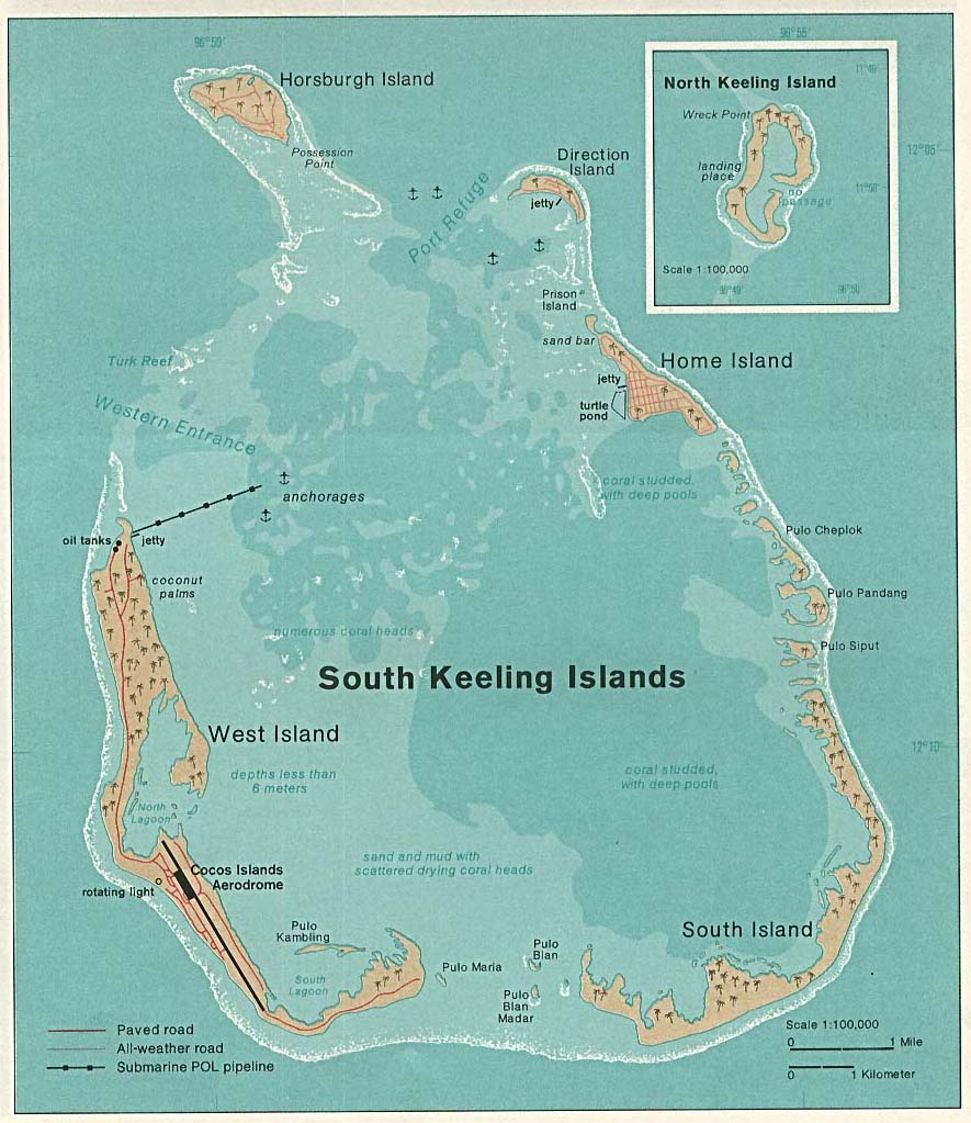
The Cocos Keeling islands are an offshore Territory of
Australia. They are located 2,750 miles
north-west of Perth. The islands are two
coral atolls on top of old volcanic undersea mountains. Cocos was a powerhouse
of copra production until 1987.

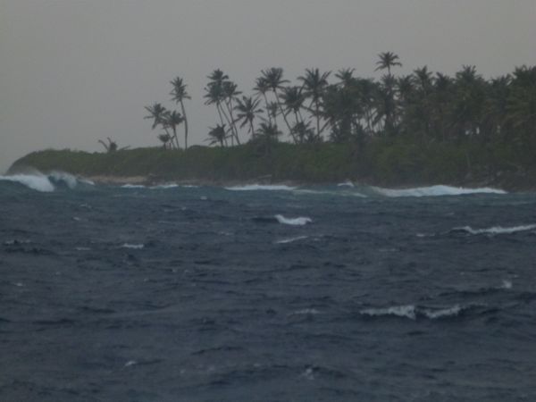
The approach into the Atoll lagoon was a bit rough with
limited visibility due to a rain storm. The ocean goes from 300 feet deep to about 23 feet in just a few hundred yards which build up waves which we have to cross to enter the lagoon.

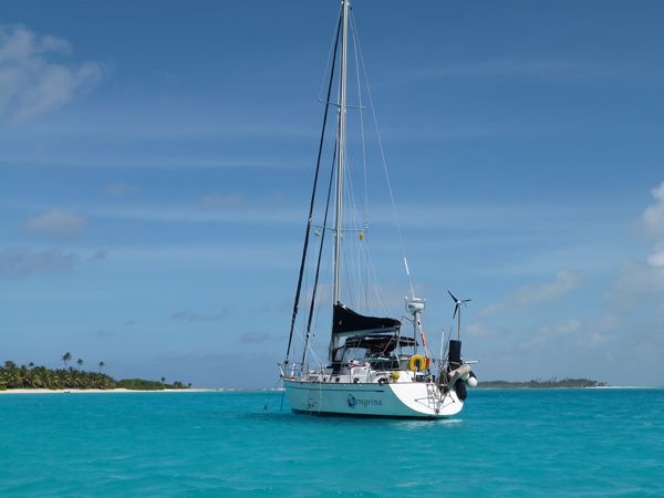
But, once we threaded our way through the reefs approaching Direction
Island, we came to rest in a protected anchorage in front of this absolutely
beautiful national park.

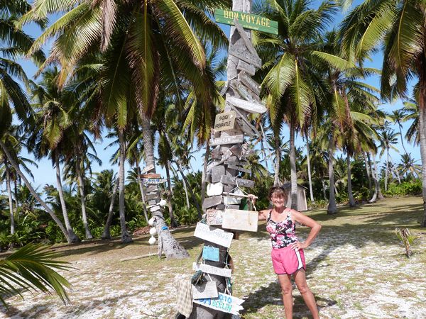
To cross the Southern Indian Ocean most cruisers stop at
Cocos Keeling. Many make homemade signs and fix them to the trees.

In Cocos Keeling, we fueled up in our traditional manner
which means taking the dingy across the Atoll lagoon (about a 45 minute trip)
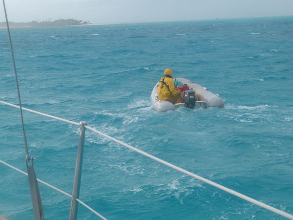
to Home Island.Here is a picture of Peter making the 45 minute trip through
waves, wind and rain. Once ashore, he has to carry each fuel can from the
island diesel tank 10 minutes to the dingy.

Then, it’s back to the dinghy for the reverse trip to
Peregrina where we carefully pour the diesel into the tanks, using a large Baja
Filter, which removes any water or contaminants. We did this whole process twice. Let me tell you…carrying 16, 20-liter Jerry
cans is quite tiring.
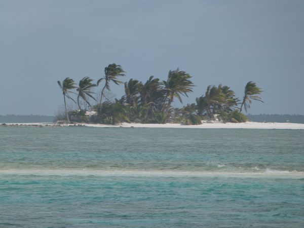
As we crossed the lagoon in the dingy to Home Island, with a
backdrop off surf breaking on the fringe reef, we passed Prison Island which
was used during Colonial rule. Can you imagine being stranded on this island!

Home Island is the residence of approximately 500 Malay
people. This is a tiny society that has been held together for more than 150
years by geographical isolation, shared religious belief (Islam) and strong
family loyalty.
So far, we have completed the legs from Singapore to Cocos
Keeling for a total of 1,158 miles. A
few days ago our friends Vicky and Bob Reynard joined us for the all or part of
the trip to South Africa.
We leave for
Rodriques, about 2000 miles away,
tomorrow.
Stay tuned for the next installment of our voyage to Africa.